
Currently, a series of smaller maps, sized DIN A1 (841 x 594 mm), is being prepared. They will require only half the space on a wall than their huge brethren in DIN A0 (1189 x 841 mm). The new maps are mostly either downsized or excerpts of existing ones, but at least one of them will cover new grounds. They are all briefly introduced here:
The Ancient World

Although a lot of older work could be reused, this will largely be a completely new map, also covering new areas as Han dynasty China and much of Eurasia and Africa at a significantly smaller scale than my previous maps. Thus the new map will include the four great Empires of these times on the same canvas. Stretching from west to east, from the Atlantic to the Pacific Ocean, the Roman, Parthian Kushan and Chinese Empires forming one continuous belt.
However, there will be much more to discover on the map beyond the realms of the great imperial states and less known sites can be included. One of them is the ancient town of Zankor, located deep within the African interior, outside the extend of my previous maps.
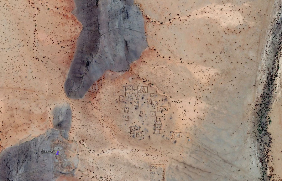
The ancient city of Zankor in the Kordofan region of modern Sudan. On the hill north of the marked circular citadel a section of the circuit wall surrounding the lower town can be seen. Image: Google Earth
Naturally, as it can be seen by the vast still mostly empty areas on the work in progress map above, this project will require some additional research until the map will be ready for publishing. Many details, even the chosen scale, can still change until this process is completed.
Imperium Romanum 211 AD

A downsized version of my big Imperium Romanum map. Scaled down from 1:4.5 million to 1:6 million. It actually exists for quite some time, being originally done for my double sided poster The World of Ancient Rome, released towards the end of 2017. The ancillary maps depicting Kush and southern Arabia had to be removed, but otherwise it includes all features of the larger map.
Before publication the additions and improvements done to the main map since 2017 have to be included in the corresponding database and some labels have to be fixed. Due to changes in the software they are no longer displayed correctly as they were six years ago.
Classical Greece
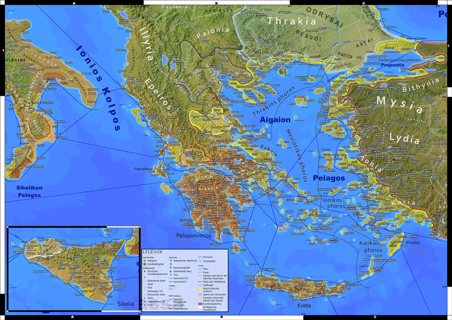
An excerpt of the DIN A0 sized map of Classical Greece, with all details and without any compromises. The map limits itself to the heartland of ancient Greek civilization, thus leaves out parts of central Italy and northern Africa which are included in the larger map. However, this also includes a lot of empty sea, thus the number of settlements on the map is by far not cut in half.
The map is based and the current database and only the placement of some labels have to be adjusted. Already since the start of development an A1 sized variant of the Classical Greece map always was an option.
The Persian Empire

A somewhat greater task lies ahead in bringing Dawn of the Classical World to the smaller canvas. Here the new map will limit itself to the Persian Empire, leaving out the western Mediterranean. Thus scale has only to be reduced from 1:5 million to 1:6.5 million. Since letter size for labels can be slightly decreased, smaller maps are typically viewed from as shorter distance than larger ones, the level of detail can be preserved. On the contrary, with another projection chosen and the map focusing solely on the Persian Empire, the eastern border zones will be fully included on the canvas, unlike on the A0 map. There compromises had to be made to additionally cover large parts of Europe and northern Africa.
Publication
The first of these maps will be published in the coming weeks as download and printable, high resolution pdf files. They include 3 mm of additional bleed on each side, to allow for printing in the specified size without visible borders.
Of course the current A0 sized downloadable maps can be downsized during printing too. For example everything on the Imperium Romanum map is still decipherable when printed in DIN A2 (594 x 420 mm). With a quarter of the size the effective scale would than be 1:9 million, instead of 1:4.5 million.
Write a comment
Deya (Sunday, 22 September 2024 19:30)
Oh this is super exciting to see! I look forward to the finished version of The Ancient World, and would love to see maps zooming in on late Han China or Kushan and India. I've loved using the canvas maps of Imperium Romanum and the Parthian Empire with my friends.