
On demand my maps can be printed in other formats than the standards they were designed for. In this post I will show two examples in DIN A2 (59,4 x 42 cm), the largest size that can be shipped rolled up globally for 3,70 €.
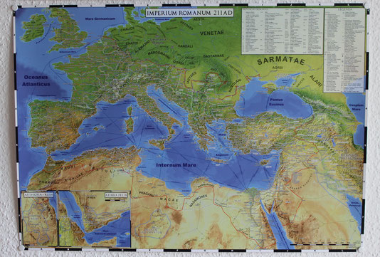
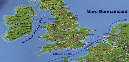
For my Roman Empire and other large maps shrinking them from A0 to A2 means that every distance is cut in half. The result is very similar in appearance to the maps commonly found in atlases. Each label is still perfectly readable, but has to be viewed from smaller distances, just as when you are reading a book. On the contrary the big maps are optimized for viewing distances of about one meter.
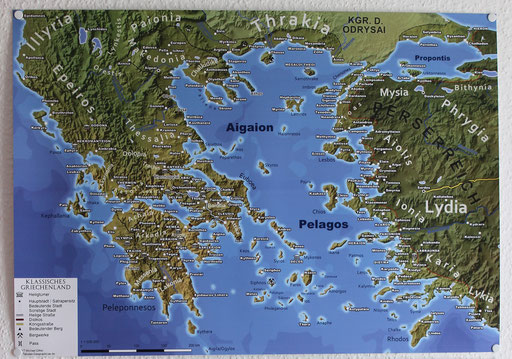
My second example is the map of Classical Greece, originally developed as a DIN A6 sized postcard. Thus in DIN A2 each element has four times the size than on the postcard. The resulting wall map can still be read from distances of about 2 to 3 meters.
Write a comment