
Other Sizes
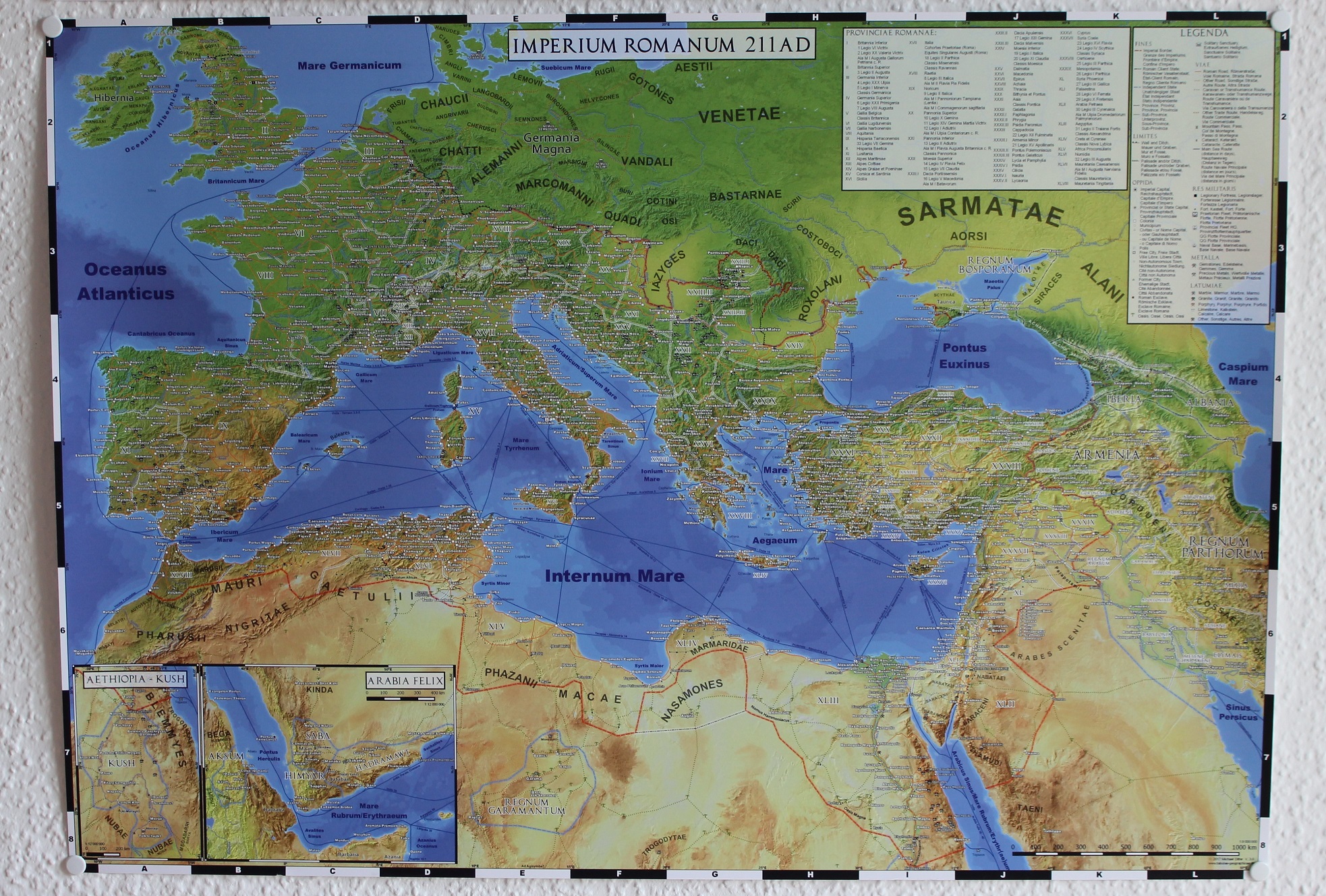
Principally all maps can be printed in other formats than the standards they were designed for. Either as excerpts of larger maps or scaled up or down. The latter opens up very different possibilities if, for example, a postcard is scaled up to DIN A2 (59,4 x 42 cm) or one of the big wall maps scaled down to the same size.
For my wall maps scaling them down from A0 to A2 means that every distance is cut in half. The result is very similar in appearance to the maps commonly found in atlases. Each label is still perfectly readable, but has to be viewed from smaller distances, just as when you are reading a book. On the contrary the big maps are optimized for viewing distances of about one meter.


If a map developed for an DIN A6 sized postcard is scaled up to DIN A2 each element has four times its original size. The resulting wall map can still be read from distances of about 2 to 3 meters.


Excerpts of the larger maps can also be printed while keeping the scale. The image below shows an DIN A1 (59,4 x 84,1 cm) sized version of Classical Greece, limited to the core territories and only half the size of the full wall map.
