
Last week I added about 100 new Roman sites to the Roman Era Hesse map, completing the civil settlements in the northern Wetterau. By now more work for this map is done than left to do.
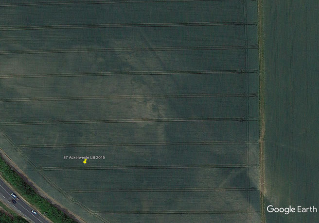
Most of these sites are Villae Rusticae which, as far as archaeology can tell us, were founded systematically almost simultaneously during the last years of Trajan’s or the early years of Hadrian’s rule. Only along the border a military zone, a few kilometers in width, stayed clear of any kind civilian activity. In the eastern parts modern brown coal mining has possibly destroyed the traces of many ancient sites.
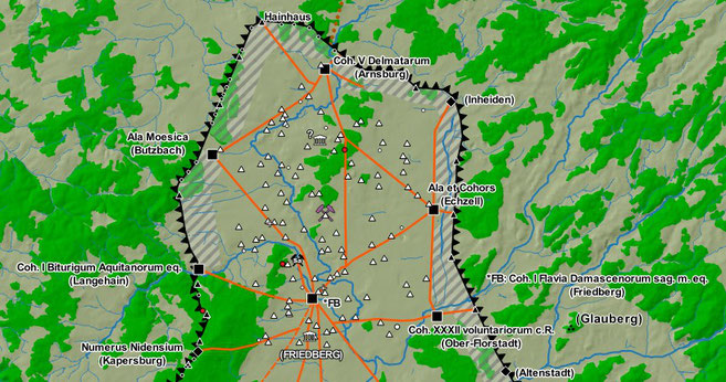
Surrounded by the Limes the Wetterau looks like a thorn emerging from the main body of Roman territory. An extended length of the border justifiable by it’s fertile soils and strategic importance as one of the main lines of advance into the heart of Germania. Since the early days of the Roman advance during the reign of Augustus, this road had already been secured multiple times by chains of forts before the construction of the Limes system in the late 1st century AD.
The northern sector of the Limes is centered around the fort at Friedberg. Home of Cohors I Flavia Damascenorum sagittariorum milliaria equitata, Friedberg was the central hub for the local road network and further connected to the limes forts through a number of signal towers.
For me it is still an open question if the final version of map will also include older or younger ancient sites than those from the 2nd and 3rd centuries. At the end the available space and if I will be able to find a graphically pleasant solution will both decide.
At the moment I‘ve already included the older, already abandoned line of the Odenwaldlimes with it’s forts and watchtowers. Even older 1st century forts, predating the Limes and most civil settlement, are already marked but at present not visible on the map.
The region‘s numerous Celtic hill forts are also candidates for inclusion. Some, like the Duensberg oppidum, were used until the first arrival of Roman forces. Others like the former princely seat at the Glauberg were long abandoned, but it once again became the seat of an Alemanni reguli shortly after the Limesfall in the mid-3rd century AD.
In a few weeks I will finally be able to continue work on the Classical Greece map, hopefully finishing it during summer.
Write a comment